Validating Lidar Drone Accuracy for 3D Mapping Using Network RTK
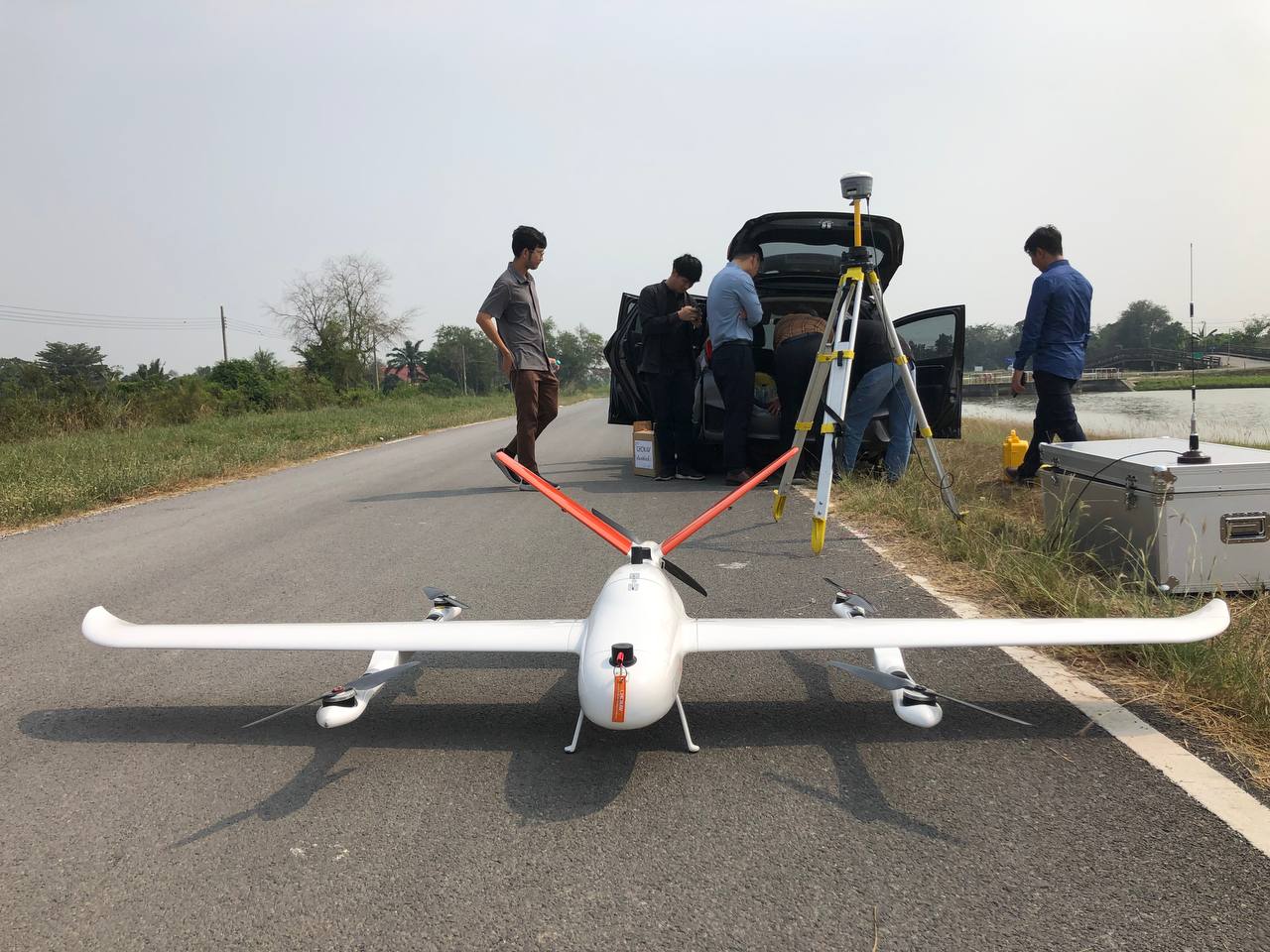
Key Consultants Cambodia (KCC) is a Cambodian consulting firm that provides engineering, surveying, and mapping services. KCC is adapting with new technology with Lidar that is a remote sensing technology, uses laser light to measure and map the physical environment.
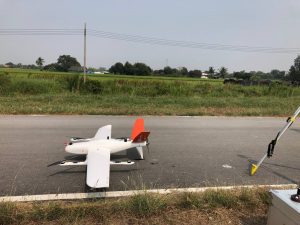
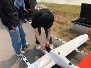
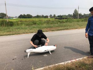
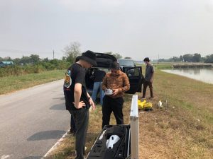
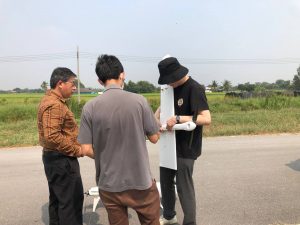
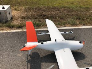
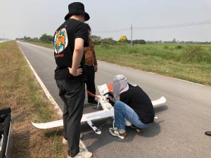
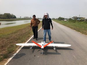
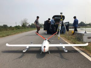
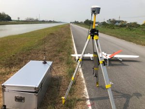
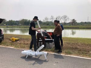
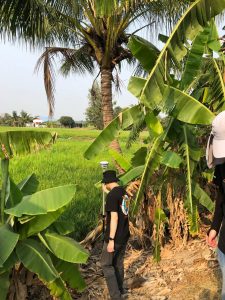
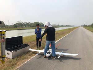
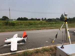
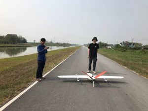
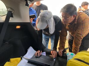
Photos below are the activities of validating the accuracy of Lidar Drone for three-dimensional mapping survey using a Network RTK measurement.